Search Collections
- Object[801]
- no[801]
- american[801]
- celt[4]
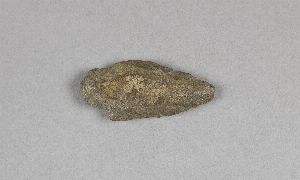
- knife[270]
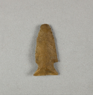
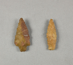
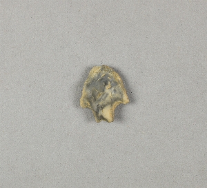
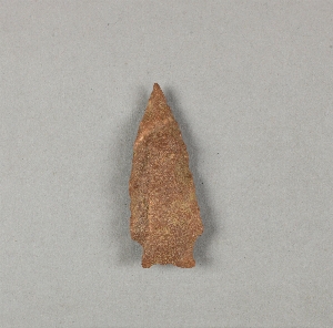
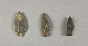
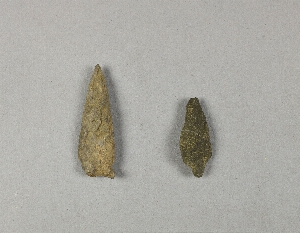
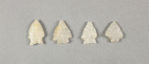
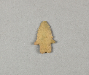
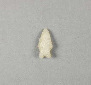
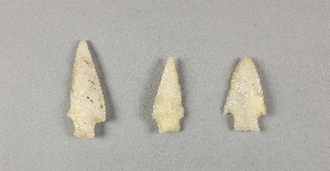
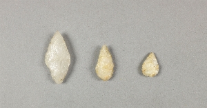
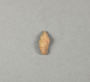
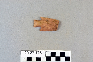
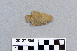
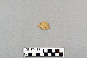
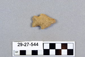
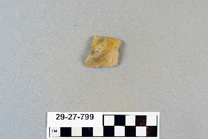
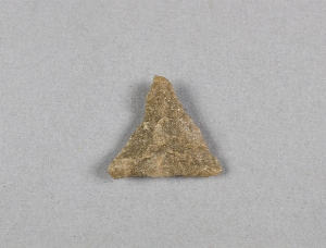
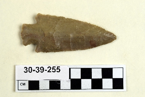
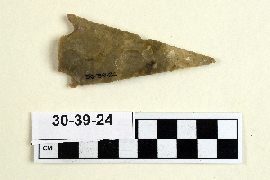
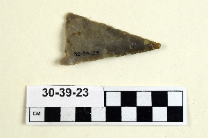
- projectile point[801]
- spearhead[1]
- abilene[7]
- alaska[79]
- bucks county[9]
- buffalo gap[2]
- cabarrus county[11]
- caesar's head[1]
- canadian river[1]
- cape darby[2]
- cape denbigh[77]
- chillicothe[1]
- cumberland county (new jersey)[1]
- dauphin county[1]
- delaware[29]
- elgin[259]
- elm creek[1]
- florence (texas)[1]
- gloucester county[1]
- greenville[1]
- gum island[6]
- henry gault mound[1]
- iredell county[6]
- iyatayet[77]
- jacobs site[11]
- kent county (delaware)[17]
- landergin[1]
- lendsey farm[9]
- logan (new mexico)[1]
- long level[3]
- madjujuinuk site[2]
- mathews ranch[1]
- mercer county[10]
- middletown (pennsylvania)[1]
- montgomery county (pennsylvania)[1]
- morrisville[9]
- neal[11]
- near abilene[19]
- near albany[1]
- new castle county[12]
- new jersey[13]
- new mexico[1]
- north carolina[214]
- norton sound[79]
- ohio[1]
- panama[162]
- pennsylvania[15]
- pennsylvania region[1]
- petersborough[11]
- piedmont[1]
- pottstown[1]
- quay county[1]
- ross county[1]
- rosson's ranch[2]
- rowan county[12]
- shellpot creek[12]
- sigmund and yarbro[1]
- sitio conte[162]
- south carolina[1]
- susquehanna valley[1]
- texas[293]
- trenton[10]
- united states of america[631]
- york county (pennsylvania)[3]
- sitio conte[162]
- cocle[162]
- denbigh flint complex[9]
- norton[68]
- paleo-eskimo[2]
- paleo-indian[1]
- pecos cave dweller[2]
- 0.75 mi. beyond bridge[1]
- abbott farm[1]
- bottom layer, 5 ft. deep.[1]
- elm creek surface site[1]
- found in neighborhood of elgin[1]
- from surface of leibhart-peters farm.[1]
- gravel pit[2]
- iy[1]
- iy hi uf-3[1]
- iya[1]
- iya3 1-4[1]
- iya32[1]
- iyaa[1]
- iyd[1]
- iye[3]
- iye gen[1]
- iye ll[2]
- iye5[1]
- iyeb[1]
- iyeb 1-5[1]
- iyeb 11-13[1]
- iyeb 4-10[1]
- iyed[1]
- iyed 6-9[1]
- iyem[3]
- iyem upper[1]
- iyh-7[1]
- iyh-7b[2]
- iyh1 uf4[1]
- iyh3[1]
- iyh4[1]
- iyh7 upt[1]
- iyhi hf2[1]
- iyhi uf3[1]
- iyhi-c uf 3,4[1]
- iyhi-d upi-3[1]
- iyhi-t uf gen[1]
- iyk-25[1]
- iyk-55[1]
- iyk-56[1]
- iym[7]
- iyo[1]
- iyp misc[1]
- iypa[2]
- iypc[2]
- iypd(?)[1]
- iype m[1]
- iype-1 lm[1]
- iype-2 lm[1]
- iype-5 lm[1]
- iype-5 um[1]
- iype-5 upm[1]
- iype-6 lm[1]
- iype-7 upm[1]
- iypf 1m[1]
- iyphm[1]
- iypm l[1]
- iyr 1,2[1]
- iyz5[9]
- lofland and gooden farms on either side of cor marsh ditch[11]
- mad[2]
- mesa site[1]
- near abilene[1]
- paint creek[8]
- rossen's ranch near lawn[2]
- shores of delaware river at morrisville, pa., and trenton, n.j.[9]
- surface[7]
- surface find along cohansey creek[1]
- surface site[3]
- surface site in cotton field mile e. of lawn[1]
- surface, lendsey farm, near abilene.[3]
- tr. 2, b 11, final clearing of level iii[46]
- tr. 2, b 11, mainly from pottery wall[94]
- tr. 2, b 11, square 4, level iii[4]
- tr. 2, b 12d[5]
- trench 2[10]
- west part of tr. 2, isolated[3]
- general reference[162]
1 - 30 of 801 Records
1 - 30 of 801 Records