Search Collections
- Object[520]
- no[520]
- american[485]
- egyptian[6]
- mediterranean[2]
- near eastern[16]
- oceanian[11]
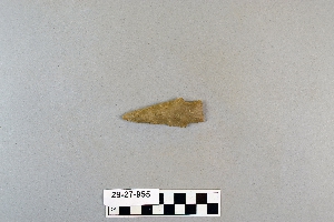
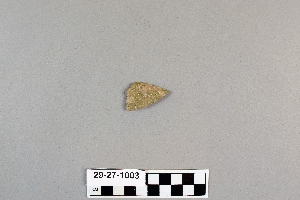
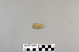
- arrowhead[520]
- cast[6]
- spear[1]
- spear point[1]
- spearhead[2]
- alaska[24]
- alibates creek[1]
- austin (texas)[4]
- balanced rock[1]
- bastrop county[1]
- brackettville[4]
- brazos river[1]
- buffalo gap[1]
- cape darby[1]
- cape denbigh[20]
- caucasus[1]
- cook inlet[1]
- corpus christi[2]
- corpus christi area[34]
- david rose's ranch[4]
- devil's river[1]
- double mountain[1]
- dr. pearce mound[6]
- egypt[6]
- egypt mills[1]
- elgin[1]
- erivan government[1]
- florence (texas)[22]
- gravel pit[1]
- hasanlu[1]
- henry gault mound[16]
- iankovitch[1]
- iran[1]
- iraq[1]
- iyatayet[20]
- jankovitah[1]
- kerr county[2]
- kerrville[2]
- kiev district[1]
- kiev government[2]
- lancaster county (pennsylvania)[3]
- logan (new mexico)[1]
- madjujuinuk site[1]
- mathews ranch[2]
- mesa[2]
- mesa ruin[1]
- mexico (central america)[1]
- navaho mountain[3]
- navajo reservation[3]
- nazca district[1]
- near abilene[12]
- near albany[2]
- near anchorage[1]
- new mexico[1]
- norton sound[21]
- nueces county[36]
- nueces dam[5]
- nugent ranch[6]
- olonetsk region[1]
- palo duro canyon[2]
- panama[357]
- pennsylvania[4]
- peru[1]
- pike county (pennsylvania)[1]
- putnam pit[1]
- quay county[1]
- reynold's ranch[1]
- rockport[2]
- russia[13]
- san patricio county[5]
- schultz farm[3]
- sitio conte[357]
- solomon islands[10]
- tartarstan[1]
- texas[94]
- timor laut[1]
- travis county[2]
- turkey[2]
- united states of america[123]
- ur[1]
- utah[3]
- viatka government[1]
- vladimir region[8]
- washington boro[3]
- williamson county (texas)[6]
- yukon island[2]
- sitio conte[357]
- cocle[357]
- eskimo[1]
- norton[4]
- nukleet[16]
- paleo-eskimo[1]
- prehistoric eskimo[2]
- pueblo[1]
- 15 mi. s. of amarillo[2]
- 4 j, 10' 6" - 11' 3", layer 2[1]
- 48" level[1]
- 5 j, 11' 6" - 12', layer 1[1]
- bottom layer, 5 ft. deep.[14]
- burnt mound[4]
- dr. ray's site on clear fork of brazos river.[1]
- found in cave on side of mesa.[1]
- from surface of fork of brazos river.[1]
- from surface on flood plain of delaware river[1]
- from the upper surface.[2]
- gravel pit[1]
- iy[2]
- iyea[1]
- iyed[2]
- iyed mid[1]
- iyem b-i[5]
- iyem upper[4]
- iyh 3[1]
- iyh-2[2]
- iyt 3[1]
- iyz-1u[1]
- mad[1]
- mounds near austin[2]
- near abilene[2]
- shell mounds[18]
- site beside mesa near navaho mountain[1]
- surface[5]
- surface and misc. finds[5]
- surface and miscellaneous finds[1]
- surface of detritus from cave which was excavated[1]
- surface site[2]
- tr. 2, b 11[1]
- tr. 2, b 11, ca. n 182.5 - w 168, level iii[5]
- tr. 2, b 7, skeleton b, cache[350]
1 - 30 of 520 Records
1 - 30 of 520 Records