Regional Survey
The Gordion Regional Survey (GRS), conducted between 1999 and 2002, studied the relationship between long-term settlement patterns and land use from the Late Bronze Age through the Achaemenid period. The goals of GRS included defining the range of settlement types, their geographical characteristics, the change in settlement type and distribution over time, and the reciprocal relationships between environmental and cultural change.
An arbitrary 20 km x 20 km block, centered on the site of Gordion, constituted the survey area. Topographically, this was defined by the top of a range of hills at the east, by a modern military base at the south, and by an arbitrary distance at the west. The topography varies from 650 m—at the site of Gordion on the Sakarya River—to an elevation of 1400 m at the top of Dua Dağ, and includes two major rivers, the Porsuk and the Sakarya.
Due to the relatively rapid transformation of the landscape surrounding Gordion during the Holocene period, the long term erosion of the land surfaces in the survey region made it impractical to conduct a 100% intensive survey. After a pilot season in 1996, a stratified sampling strategy was chosen, which focused on geologically stable surfaces where material remains would be preserved from the mid-late Holocene.
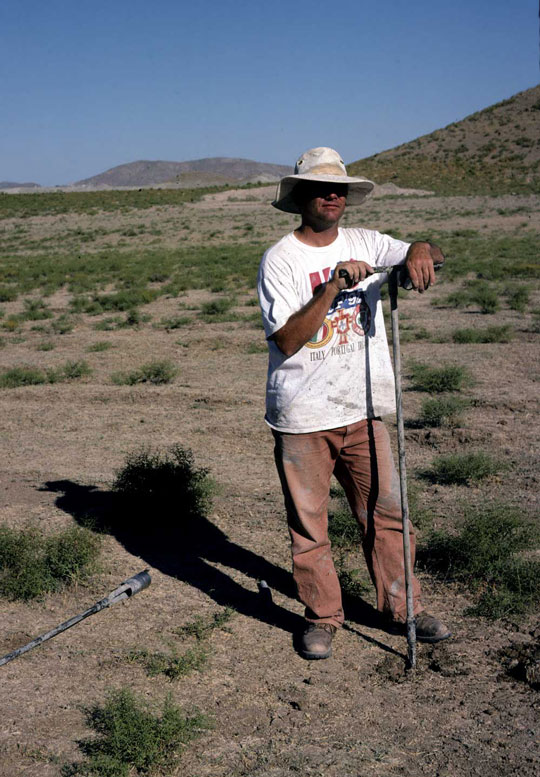
A total of 9 transects were surveyed. The first four were part of the pilot season, when a variety of sampling strategies were tested (block, transect, dogleash, etc.). For example, Transect 4 is a 1 km x 1 km block below a cluster of streams east of Gordion. These pilot tests confirmed that linear transects, opportunistically sampling agricultural fields not under grain cultivation, were the most effective strategy. Subsequent transects sampled all of the minor tributary valleys and the main spring sources around Gordion, on surfaces with less than 5–8% slope and no evidence of substantial deposition or erosion. Within each transect, collection units varied in size based on sherd density and field sizes (from 100 – 200 m x 40 – 50 m). Crews of 5 to 15 walked 5 m apart, collecting all artifacts visible on the surface.

A major component of this archaeological sampling strategy was a geomorphological survey. Two sets of coring regimes sampled upland stream alluviation. Three types of samples were collected: dating, sediment description, and phytolith analysis. Locations were chosen to inform the landscape history adjacent to each transect surveyed. More intensive sampling, both archaeological and geomorphological, occurred in the upper drainages east of Gordion.
Ceramics and lithics dominated the artifacts collected. All diagnostic ceramics were drawn and photographed. All non-diagnostic ceramics were matched to a Gordion fabric reference collection that was analyzed by INAA (Instrumental Neutron Activation Analysis). The goal of these analyses was to create known localized geochemical fingerprints for otherwise non-diagnostic material. Both geomorphic and artifactual data were linked into a GIS database, created from a range of imagery and maps (geological maps, topographic maps, SPOT images, aerial photographs, etc.). Phytoliths were not present in the sediment samples.
The earliest settlements (two) identified in the survey area date to the Chalcolithic period. Based on ceramics, Early Bronze Age sites are much more abundant, with rapid expansion subsequently during the Middle Bronze Age. Sediments begin infilling the middle regions of the Gordion catchment by ca. 2300 BCE, suggesting that agricultural strategies (including pastoralism?) or deforestation were already impacting the upper slopes. Settlement dropped off substantially during the Late Bronze Age—sherd density declines ca. 50%—as rural areas were depopulated. The subsequent Early Iron Age is barely visible in the landscape—whether this is due to further depopulation or lack of archaeological visibility is unclear. The Phrygian ceramic distribution suggests a relatively rapid expansion of Phrygian occupation, reaching a maximum during the Middle Phrygian period—as at Gordion itself—and declining relatively quickly during the Achaemenid period. Expansion begins again during the Hellenistic period, with the greatest extent of land use and settlement during the Roman period. Given earlier patterns of erosion, the stability of occupation from the Hellenistic through the Roman period, and the density of Roman sites in the region, it seems likely that agricultural strategies had changed substantially by the Roman period. Some type of soil conservation, fallowing, and herd management strategies may have been developed to limit soil loss. While land degradation accelerates after the Roman period, the evidence for population and settlement declines. Several factors might account for this: increasing pastoralism across the region or shifts in the climatic regime (increasing seasonality and changes in rainfall that maximize erosion).
Further reading
- Kealhofer, L. 2005. “Settlement and Land Use: The Gordion Regional Survey,” in The Archaeology of Midas and the Phrygians, ed. L. Kealhofer, Philadelphia, pp. 137-148.
- Marsh, B. 2005. “Physical Geography, Land Use, and Human Impact at Gordion,” in The Archaeology of Midas and the Phrygians, ed. L. Kealhofer, Philadelphia, pp.161-171.