THE Lock Haven Expedition of the University Museum was organized in June, 1929, for the purpose of investigating the archæological sites along the western branch of the Susquehanna River and other regions in the western part of the state.
The archæology of Pennsylvania, like that of the entire East with the exception of New York State, is practically unknown from the scientific point of view. It is true that the region is not rich in antiquities in the sense that Mexico or our own Southwest is rich, and it is also to be admitted that it is possible to draw up a list of the kinds and varieties of artifacts which are found within the state boundaries. A list of relics, however, does not constitute archæological knowledge in the modern sense of the term, for archæological science now implies the determination of as complete a history of the people involved as is possible from the available data. The artifacts left by a people are not so important as the associations which they connote, and it is in this consideration that Pennsylvania archæology is in a deplorable condition. Fortunately for us, our neighbours in New York State have given considerable thought to the archæological problems of their region and, since Pennsylvania is somewhat akin, we have their knowledge to help us in our own endeavours. The fact still remains, however, that our contributions have been decidedly meager and, more important still, we must admit that in those problems which are distinctly local to Pennsylvania our knowledge is practically nil.
Before any attempt can be made to classify the cultures of the many different tribes which occupied Pennsylvania in historic and prehistoric times, we must first have at our disposal the complete records of the excavation of several hundred sites, including villages, camping grounds, burial places, rock shelters and the various artificial earth formations such as forts and mounds. All of these are found in the state and are associated at the present time with the general classification of Iroquoian, Algonkian or Mound Builder culture. It is of course well known that several Iroquoian and several Algonkian tribes existed here at various times, but our knowledge of their cultures is so rudimentary that it is impossible to say just what characteristics differentiated one from the others. In so far as the Mound Builders are concerned, we can say practically nothing.
Perhaps the greatest criticism we can direct against ourselves is our ignorance of the chronological sequence of occupation of this region. It is accepted on sound evidence and logic that the Iroquoian tribes were the latest Indians to invade this locality and that they subdued and displaced peoples who spoke Algonkian languages who had lived here before them. Since this movement is considered to have been quite recent—that is, within the last thousand years—it should not be a difficult task to obtain proof from chronological records in the ground. No one has accomplished very much in this direction, for the simple reason that a sufficient number of records do not exist for any satisfactory study. But chronology should not be sought solely for the Iroquois and Algonkians. Until demonstrated otherwise, it should be considered possible by an abundance of evidence to establish a chronology of occupation for all the historic tribes and for a great number of the prehistoric peoples who must have lived here. The establishment of a chronology, therefore, should be the ultimate objective of research in Pennsylvania archæology. For the time being, however, we must be content to confine ourselves to the laborious task of collecting data with the hope that in time the accumulation of facts will permit the perception of greater problems as the more local ones assume tangible form.

Lock Haven was chosen as the base of operations for 1929 for several reasons. In the first place, it is situated on the western branch of the Susquehanna River in a region which has received no systematic investigation. For many years the locality has yielded an abundance of artifacts, thus indicating either a long aboriginal occupation or a very populous one for a shorter period. Thirdly, Dr. T. B. Stewart of Lock Haven, who possesses one of the finest collections in the state, was instrumental in having this area selected because of the abundance of sites he reported as being worth investigation.
The Expedition took the field on June 29 and consisted of Dr. Mason and Messrs. Satterthwaite, McFarland and Lister. On July 4 Messrs. W. A. and Donald Ritchie, representing the Rochester Municipal Museum, joined the party, making the Expedition a joint one until their withdrawal on July 12. On July 6 Mrs. Dorothy Skinner of the Pennsylvania Historical Commission, which is conducting the Indian Survey of the State, arrived, remaining until July 20. Mr. Lister departed on July 13, followed by Dr. Mason and Mr. Satterthwaite on July 15, when Dr. Davidson assumed charge for the Museum. Miss Barber joined the staff on July 21 to relieve Mr. McFarland, who departed on July 25.
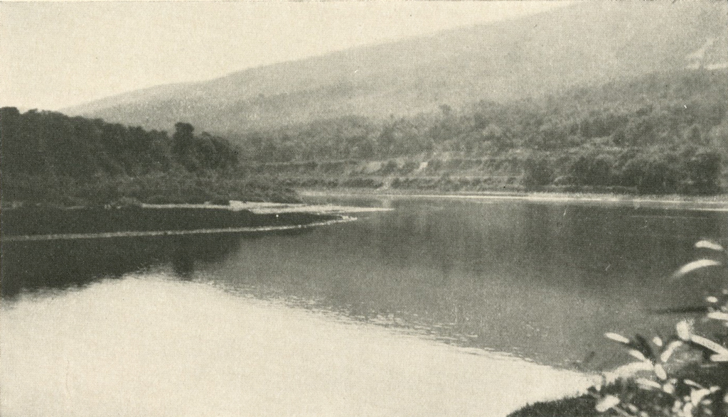
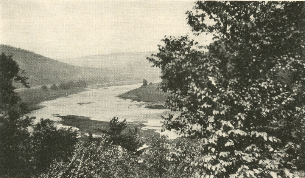
After the Expedition had established itself at Liberty, a small settlement about two miles east of Lock Haven, and operations were begun, an unforeseen difficulty was encountered. It was found that a region may be prolific in surface material and at the same time be a poor one for excavation. To make this point clear it is but necessary to describe the habits of the Susquehanna River in this locality. For many miles east and west of Lock Haven the Susquehanna flows through a deep valley formed by the Bald Eagle range on the south and the foothills of the Allegheny Plateau on the north. Each year the river overflows its banks in the spring and inundates the river bottom, which is generally quite flat. As a usual rule very little damage is done. Occasionally, however, a devasting flood occurs which completely sweeps away the humus in some places to pile up several feet of silt in others. These great floods have happened about once a decade during the last century and, as seems quite obvious, they have been instrumental in so disturbing the natural sequence in deposition that very few sites can be found which have not been disturbed to a considerable extent. Surface finds, therefore, which generally serve as a barometer for excavations, cannot be relied upon in this region, for an abundance of surface material may have resulted from a “wash” from some higher elevation and may be superimposed upon barren strata beneath. On the other hand, a rich and valuable site may be entirely covered by a silt formation which of course gives no clue to the contents of the lower strata.
During the month of July the Expedition conducted work on three major sites and visited and inspected practically all the farms on which finds had been reported between Lock Haven and Pine Creek. In addition a few trips were taken to outlying regions.
The first intensive work was started on the Munro farm about one mile east of Liberty, a small settlement where the Expedition was quartered. The farm is on the river bottom and is subject to frequent flooding. Some years ago, when the cellar for a tobacco shed was being dug, two Indian burials were found. The ground near the shed was surveyed and base lines established. About forty-five test pits were dug under the direction of Dr. Mason, but nothing was found to warrant the continuance of work. The site, known as Operation No. 1, was abandoned on July 2.

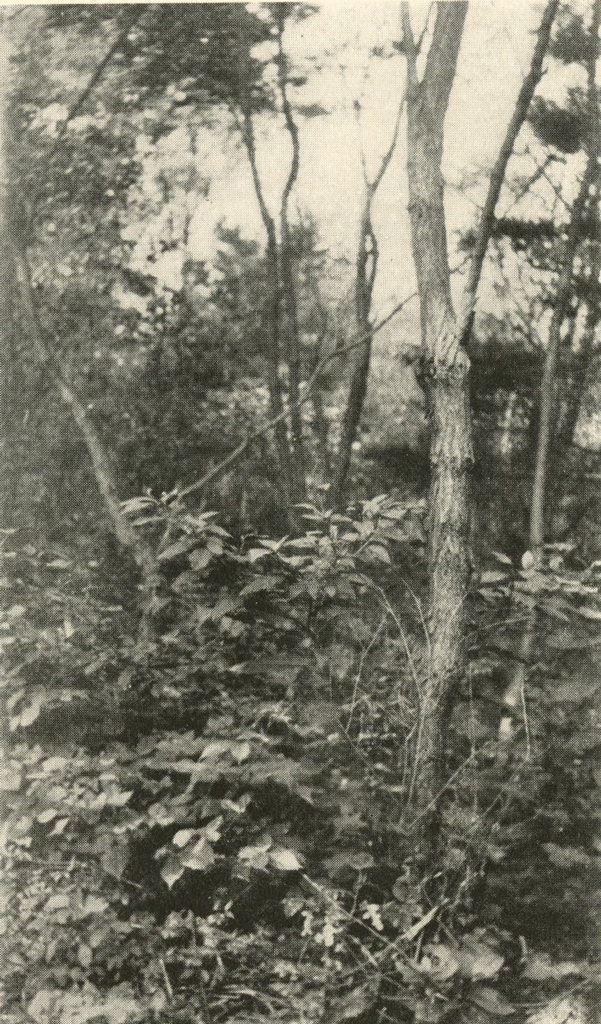
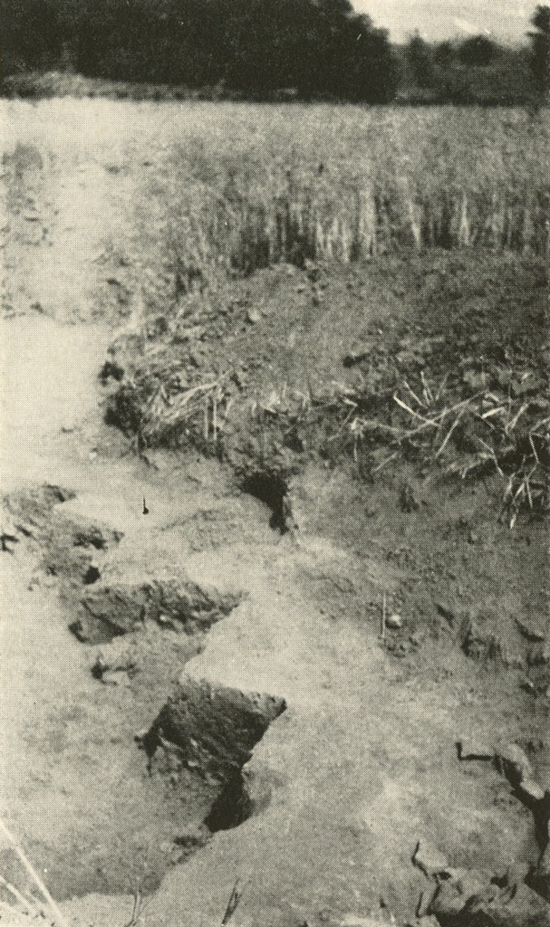
Operation No. 2 was the Hayes Stewart Farm, which adjoins the Munro farm on the west and which is at the confluence of the Susquehanna River and the Bald Eagle Creek at the point where the forks of the river, divided by the Great Island, rejoin. The flood of 1889 had denuded a great part of this area and had exposed to view numerous dark spots in the subsoil. When two of these were investigated by Dr. Stewart, a boy at the time, he found them to be Indian graves. The owner of the farm, Dr. Stewart’s uncle, refused permission to excavate the burials and as a result they are supposed not to have been disturbed Since the time of that flood the area along the bank extending inland for several hundred feet has not been farmed, but allowed to grow into a vast thicket as a protection against later floods. During the winter of 1928-1929 the owner gave his permission to excavate the graves and it was primarily on this information that Lock Haven was chosen as the seat of operations.
The grave sites had been seen in 1889 by three individuals who are still residing in the vicinity. They are Dr. Stewart, his uncle Hayes Stewart, and Ernest Moran. When these three conferred as to the location of the graves they found that the forest growth had destroyed their landmarks and they could not decide just where the graves had been. All agreed that they had been somewhere on the ridge, but they could not be explicit within a quarter of a mile. Working under this handicap, Dr. Mason directed the sinking of about one hundred test pits, most of which were made in that part of the ridge now comprising a cornfield. No indication of the burials was found. After I relieved Dr. Mason I had over one hundred additional pits dug, all in the “jungle,” as the forest at this spot is called locally. No better success was encountered than in the cornfield. It is indeed unfortunate that more exact information could not be obtained, for the testing of the entire ” jungle ” would be a tremendous task and would require the services of a large labour force. The negative results of Operation No. 2 have been a great disappointment to all concerned.

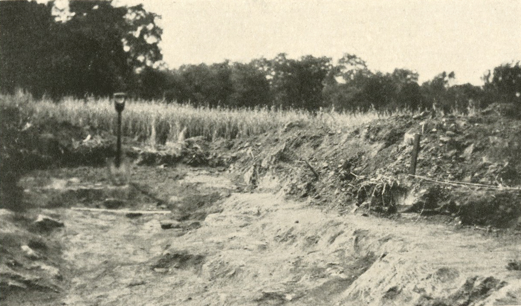
The third main undertaking of the Expedition to date was the Quiggle farm, located at Pine, Pa., about six miles from headquarters. This farm is situated on a slope rising from the Susquehanna River to an elevation of about forty feet, where the tracks of the Pennsylvania Railroad are encountered. The higher parts of this site, therefore, are almost out of reach of flood waters and for that reason the site is considered as one of the most valuable of the neighbourhood from the Expedition’s point of view. In addition to this encouraging feature, the field for many years has yielded a large number and variety of artifacts from the surface. Most of these have found their way into the collections of Dr. Stewart.
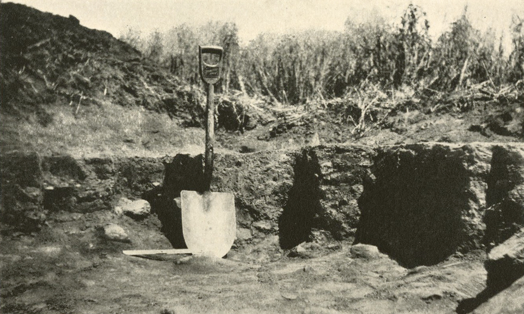
Operations on the Quiggle farm commenced on July 4 and ended on August 1. During that time over 250 test pits were sunk and several refuse pits excavated. Perhaps the most prolific pit was No. 200, which was partly excavated by Mr. Ritchie and abandoned, but which the writer subsequently dug out to completion. Although the materials found have not been studied in the field, it seems safe to announce that bones of the deer, bear and the usual rodents were included. Mussel shells, tortoise shell and net-sinkers indicate other sources of food supply. Industrial tools include bone awls, hammer stones and one polished celt or chisel found at the thirty-inch layer, the bottom of the pit.
To all appearances the pit represents the accumulation of refuse material over a great many years. All of the sections which I excavated or saw excavated were filled with charcoal particles from the bottom of the pit to the plow line. Although the charcoal was thicker in some spots than in others, it was distinctly not found in layers. The indication was that it had accumulated in the course of time as the pit slowly filled with refuse and fire sweepings.
Pit No. 200, like some of the other pits on the Quiggle farm, yielded a great amount of broken ceramic ware. The fact that only broken pieces were found serves to emphasize the refuse character of the pit, for the distribution of sherds in situ gives support to the supposition that as clay vessels became obsolete or broken, they were tossed into the pit, where, upon striking a stone or the pit bottom, they rebroke into numerous small fragments.
The decorative features of the potsherds seem to indicate a number of types, and laboratory examination may show the presence of Andaste, Algonkian and Iroquoian forms. Perhaps the most important study to be made will be the attempt to determine whether there is a difference in type at various depths of the pit. Although we should not be too optimistic in expecting that a chronology may exist, it appears that such may be among the possibilities.
At first sight it may seem strange that, since the surface of the field has yielded such a number of good stone specimens, practically none were found below the surface of the ground. When it is recalled, however, that we are dealing with refuse pits into which usable objects seldom found their way, the result does not appear so illogical. The surface finds evidently represent the lost articles which were used near the hearths located away from the refuse pits. Evidently a person approached these pits only when something was to be discarded and this would explain the absence of the finer specimens in the pits. The only stone tool which I found in the pits is the small stone celt or chisel mentioned above.
It is unfortunate that no burials were found on this site. It is known that burials were made in the field, for two were discovered by the owner in 1913. Although a diligent search was made, the Expedition was unsuccessful in locating any.
Work on the Quiggle site was concluded on August 1. On Sunday, August 4, the public descended on the site and destroyed every pit which had not been filled in. Their devastating efforts indicate the importance of protecting unfinished work. Fortunately, we had finished just in time.